
Open Foris Ground is an open-source, map-first data collection platform co-developed by Food and Agriculture Organization (FAO) and Google, which consists of a web console and an Android app. Open Foris Ground enables non-technical users to easily create surveys and collect georeferenced field data. It supports offline data entry with automatic syncing and provides real-time visualization through a web dashboard, where data can be downloaded in CSV or GeoJSON formats.
Ground is designed for non-technical users, making field data collection easy and accessible. It supports sustainability monitoring, restoration, and training data collection. For example, it empowers smallholders to track value chains and drive impact at scale.
Ground is developed under the AIM4Commodities program - Accelerating Innovative Monitoring for Forests and Commodities.
Key Features

Map-first approach
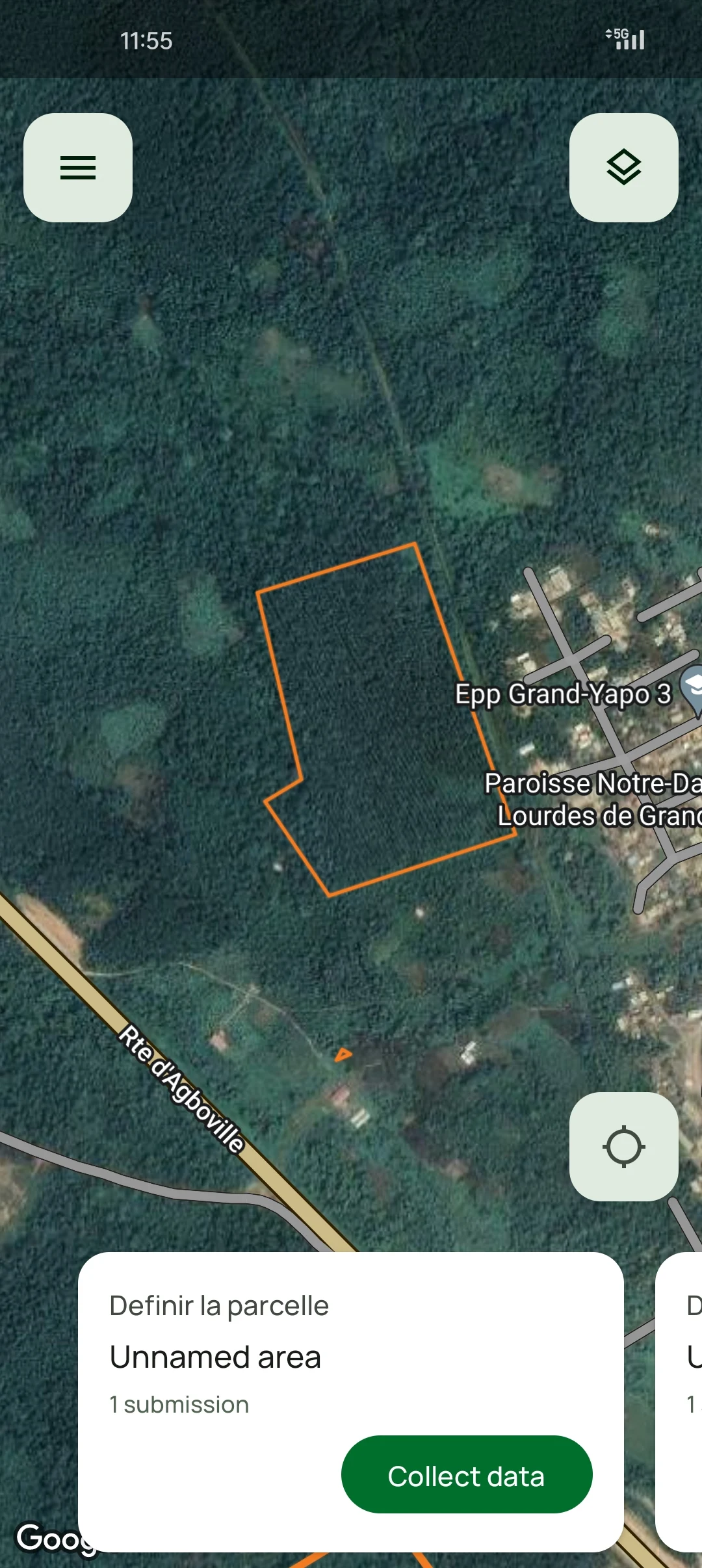
All data are linked to preloaded or user-defined map sites. Users can upload files with predefined geolocations and import plot locations from CSV or GeoJSON.
Offline data collection capabilities
The Ground mobile app enables offline data collection in remote areas. Surveys can be downloaded prior to fieldwork.
Automatic two-way data synchronization when online
The app automatically syncs collected data once an internet connection is re-established, even if closed or after device restart.
Downloadable analysis-ready data
Users can export data from the web console in CSV and GeoJSON formats for further analysis
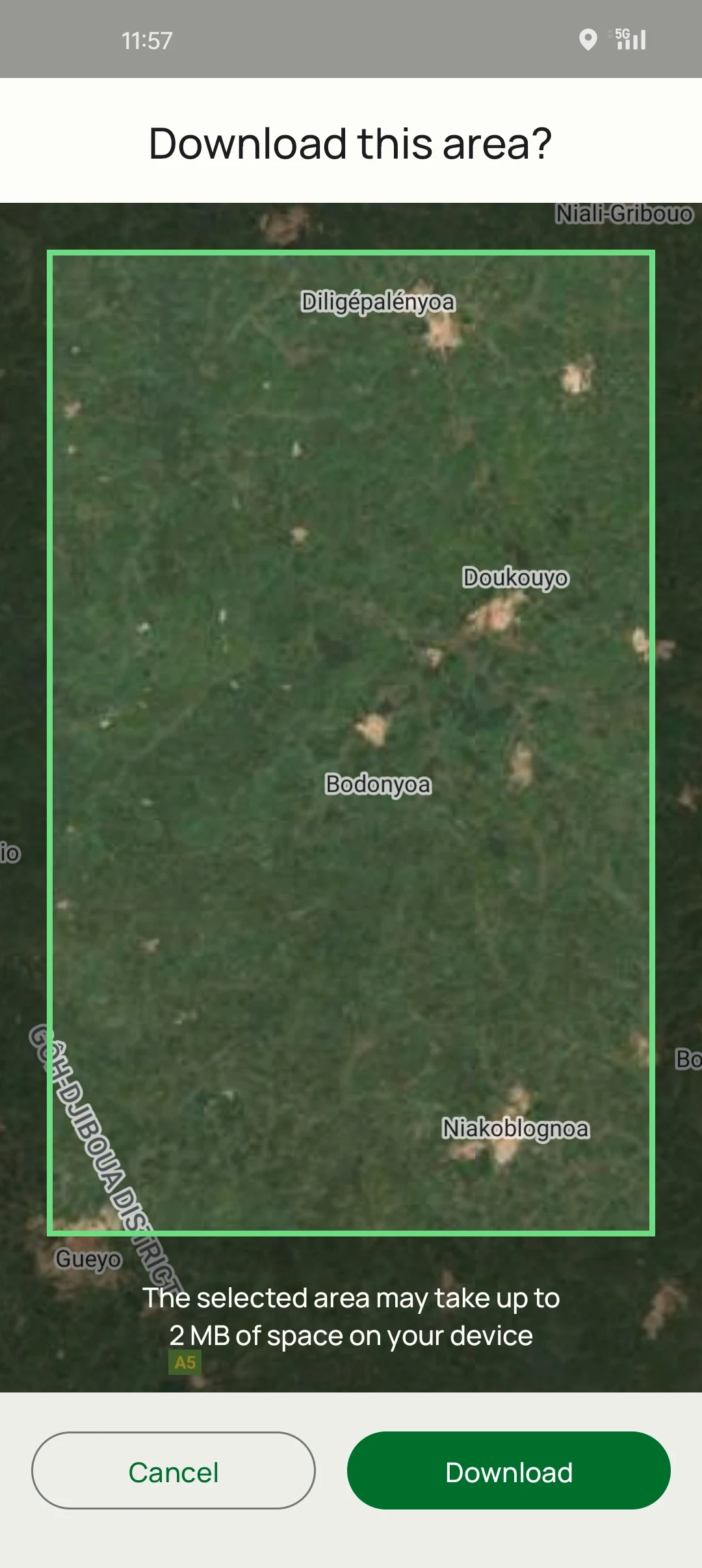
Integrates mapping features and offline Sentinel-2 imagery
Users can download Sentinel-2 imagery for offline field orientation and navigation.
Enables data sharing
During the process of the survey design, the survey designer defines the data sharing agreement as to how the data can be shared: private, public, or custom.
Interoperability is key
Designed for easy integration with other systems, ensuring interoperability - making it ideal for Digital Public Infrastructures (DPIs). Ground can be one building block of a DPI that enables the production of robust, transparent, and replicable data.
User-friendly interface optimized for non-technical users
Open Foris Ground’s intuitive design simplifies data collection for non-technical users, ensuring accessibility and
ease of navigation.
Languages supported
Ground supports English, French, Spanish, and Vietnamese, with more to come.
Designed For
Key target audiences and use scenarios include:
Smallholder and Cooperative
Ground empowers local actors and drives sustainability impact at scale, particularly for non-technical users with little to no special training. Ground can be used to collect data on commodity production to comply with zero-deforestation regulatory schemes such as EUDR and UK Forest Risk Commodity Regulation (UKFCR).
Community organizers
Ground enables Indigenous Peoples and community organizers to collect, manage and act on data related to their territories, driving sustainability impact at scale and returning data control to local actors.
Researchers
Ground enables researchers to collect data and train models with ground truth, supporting the development of commodity maps at a global scale.
Conservation and humanitarian workers
Mapping and monitoring activities in the field, such as restoration projects, Ground facilitates the gathering and reporting of spatial data, which is often a challenge for communities implementing projects, who may lack technical skills.
Supports data collection for global commodity maps
Ground helps collect data on commodities like coffee, cocoa, soy, and palm trees with openly licensed models combining trusted community data sources.
Helps meet reporting obligations
Supports geolocation data reporting essential for deforestation-free product verification, increasing transparency and accountability.
Supports monitoring of biodiversity indicators
On-the-ground data collection complements satellite imagery for crucial biodiversity monitoring to evaluate restoration success.
New FAO certified eLearning Course: Open Foris Ground
Ready to take your field data collection to the next level?
Discover how digital innovation is transforming forest and land-use monitoring with FAO’s new Open Foris Ground eLearning course.
This free, self-paced course introduces you to an open-source solution that simplifies every step of data collection — from survey design to mobile data capture and results visualization (once back online). In just 90 minutes, you’ll gain hands-on experience that helps improve data quality, transparency, and decision-making for sustainable land management.
Complete the course to earn a digital badge and join a growing global community of innovators using open tools for environmental monitoring.
Developed by FAO under the SAFE project with support from the European Union, BMZ, and the Government of Germany.
Workflow & Architecture

Workflow
- Request survey designer access: You need to request access filling in this form.
- Survey Creation: Users log into the Ground web console to design new surveys or to edit existing ones. This process involves defining the survey's purpose, scope, and the types of data to be collected.
- Data Collection Strategy: Users can upload predefined sites (e.g., plot boundaries) that will be used by field collectors or leave them the possibility to add new ones.
- User Management: Survey designers can invite users and assign them roles, defining permissions as data collectors and others.
- Publication: Once designed, the survey is published, making it available for download and use on the Android mobile application.
- Survey Download: Data collectors can access the specific survey on their Android device, by selecting them from the list.
- Offline Capability: The Android app is designed for robust offline use. Data collectors can work in remote areas without an internet connection. Collected data will be sent to the server when their device is back online.
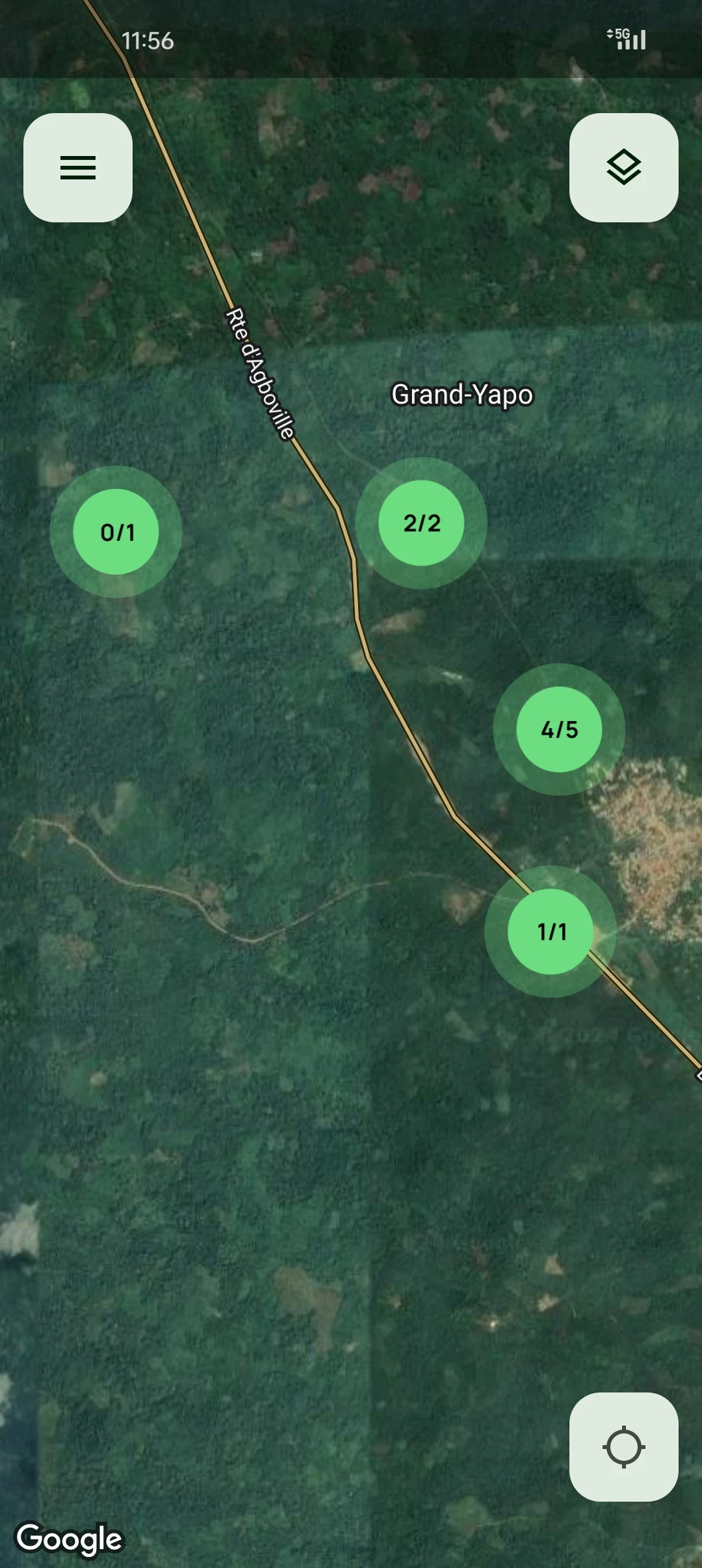
- Map-Based Navigation and Data Entry: Users navigate using the maps. They can select specific plots or points on the map and collect all the data required in the survey.
- Media Capture: The app allows for the capture of photos directly linked to data locations, enriching the collected information.
- Data is safe: As data is entered, it remains safe in the app's cache even when running out of battery.
- Two-Way Synchronization: When the Android device regains an internet connection, it automatically synchronizes collected data with the cloud backend. This is a two-way process: new field data is uploaded, and any updates or new assignments from the web console are downloaded to the device.
- Real-time Visualization: Once synchronized, collected field data becomes immediately visible on the Ground web console dashboard, allowing project managers to monitor progress and data quality in real-time.
- Data Export and Analysis: From the web console, users can export the collected data in analysis-ready formats such as CSV or GeoJSON. This allows for further analysis using external tools or integration with other systems.
Technology Stack
Android Mobile App:
Developed natively for Android. It allows users to collect field data directly in the field, even without internet connectivity.
Web Console:
Used for designing surveys, visualising data, and exporting datasets.
Authentication Service:
Implemented via Google Sign-In. This external method means the system does not store or manage user passwords, relying on Google for identity verification.
Firestore Database:
Provides data persistence and real-time synchronisation across users and devices.
Firebase Storage:
Used for storing user-uploaded files and offline imagery for field use.
Cloud Functions (Backend Logic):
Serverless backend components that act as a bridge between the client applications and Firestore Database, triggering data updates and handling background logic based on events.
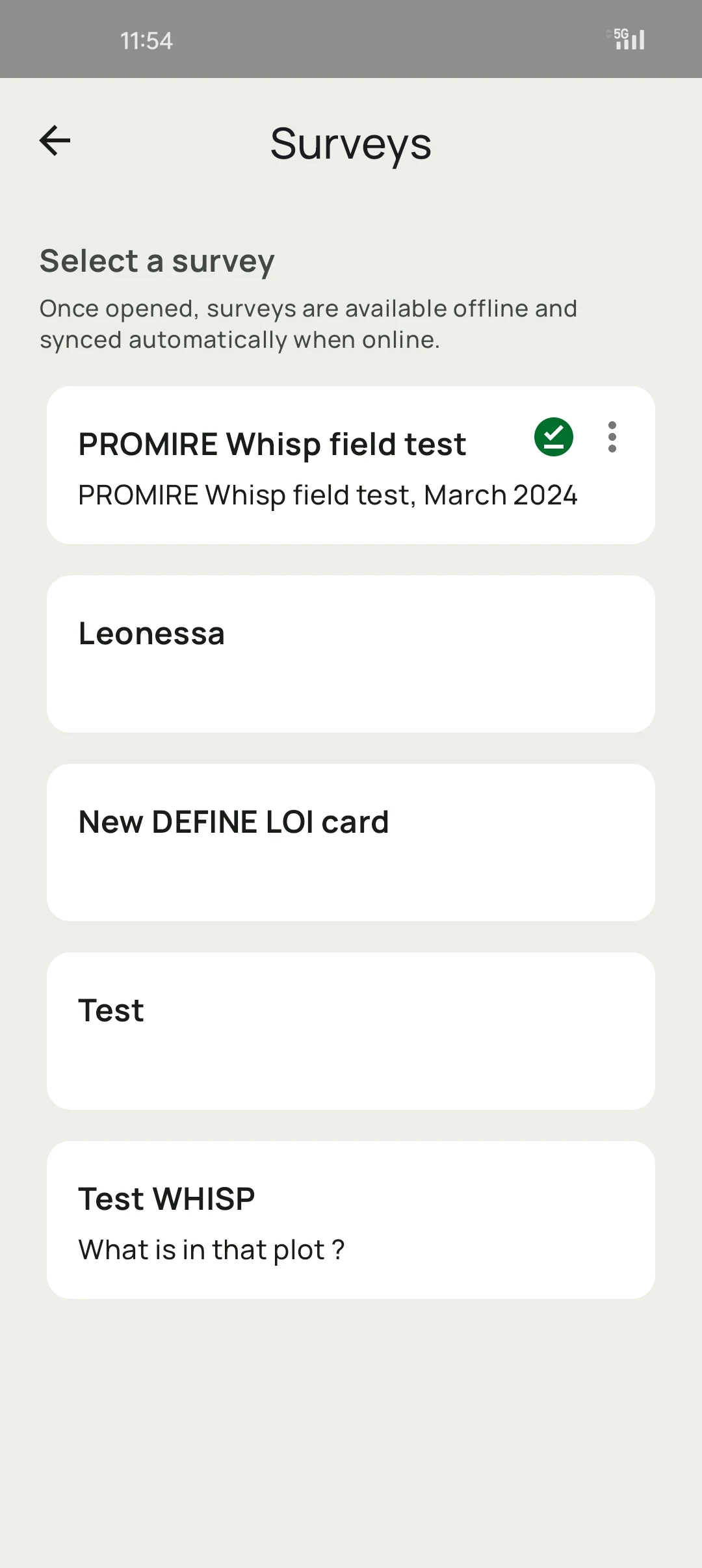
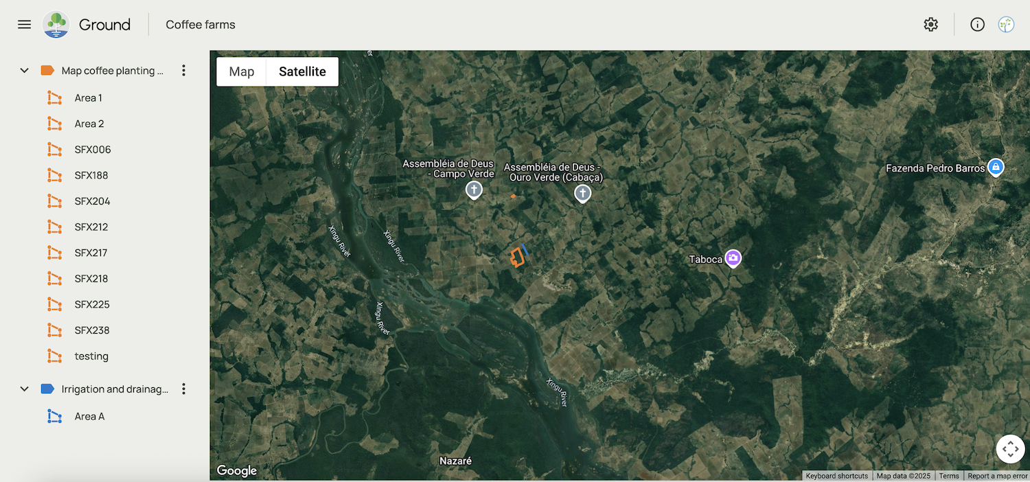
Screenshots
Resources
Support Forum
Materials & Resources
- How innovation is driving change in forestry event: Technical Session 4
- Open Foris Ground early version test demo session
- DIASCA Forest Monitoring Webinar
- Ground App Tutorials Playlist [EN]
- Enhancing compliance with deforestation-free regulations and enabling local participation with Ground: Insights from user experiences in Ivory Coast
- Strengthening Traceability and Sustainability in Viet Nam’s Coffee and Rubber Sectors
- AIM4Commodities Project: Data Ownership for Sustainable, Traceable Supply Chains and Transparent Governance
- AIM4Commodities: Advancing traceability and Digital Public Infrastructure in Kenya's coffee sector
- Start of AIM4Commodities project activities in Colombia: strengthening the traceability and sustainability of cocoa