
Arena is a modern, cloud-based platform designed for comprehensive forest and other environmental surveys, socio-economic surveys and other applications. It allows users to fully customise survey structures, variables, and validation rules, supporting multilingual data collection, management, and processing. Its dynamic form designer, taxonomy management, and real-time collaborative features make it ideal for both national forest inventories and complex, multi-cycle surveys. Arena supports importing old Collect surveys, connected with Earth Map and Whisp for Google Earth Engine queries, and it offers advanced data cleansing and export functions. Data is securely stored in the cloud, facilitating collaboration and reducing the need for local IT infrastructure.
Key Features

Comprehensive Survey Management
Full customization of survey structures, variables, and validation rules.
Integration of solutions
Combines functionalities of Open Foris Collect (for survey design and data management) and Open Foris Calc (for data analysis) into a single platform.
Real-time Collaboration
Cloud-based data storage and management enable real-time collaborative workflows for survey teams.
Dynamic Form Designer
Allows for flexible creation and modification of data collection forms.
Taxonomy Management
Efficiently handles and manages species lists.
Geospatial Integration
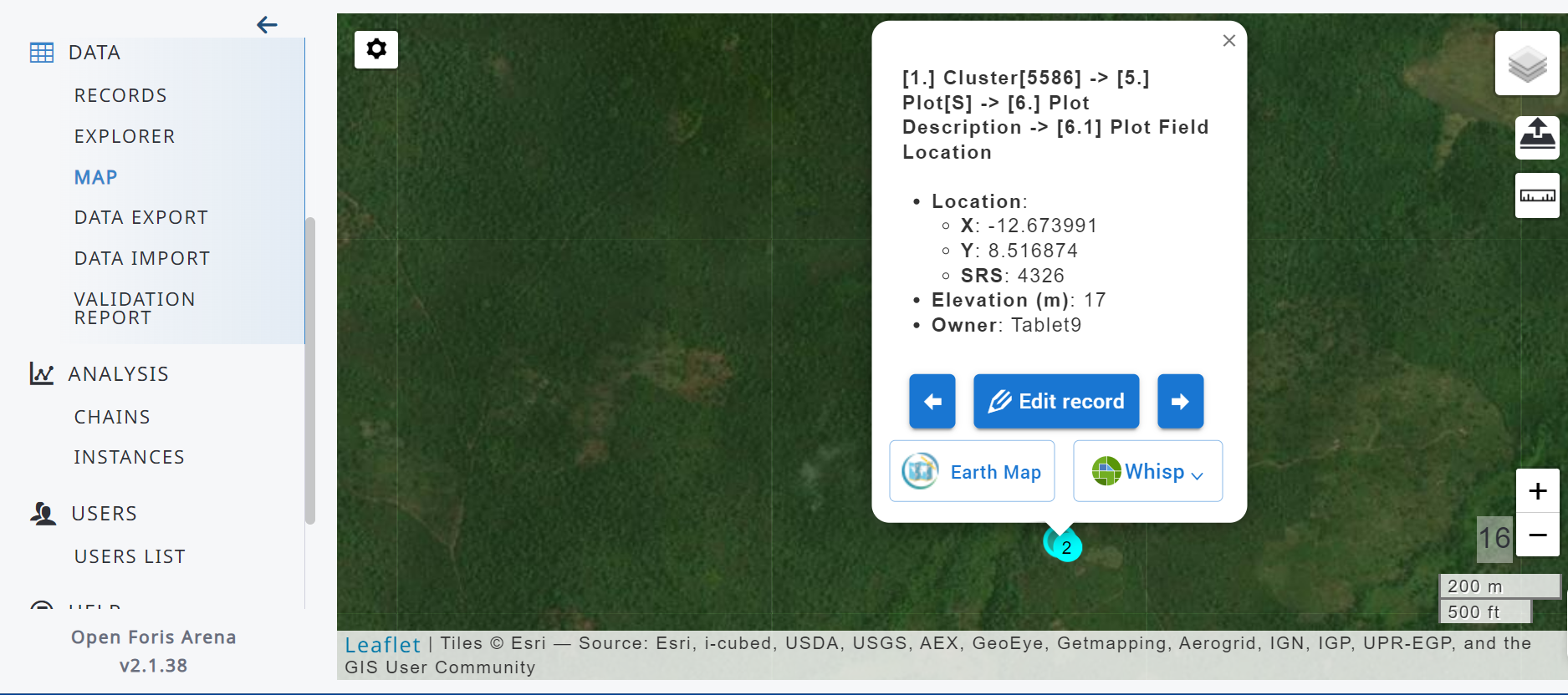
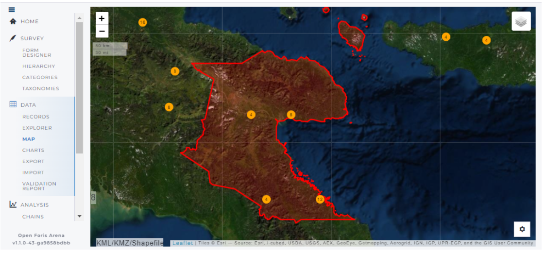
Access to very-high resolution satellite images, via integration with ESRI imagery, for visualisation of collected data locations.
Data Quality Assurance
In-built data validation and cleansing workflows ensure high data quality.
Advanced Analysis
Integrated connection to RStudio Server or local RStudio installations for statistical analysis and computing of new result attributes.
Import/Export
Supports importing data and surveys (Arena and Collect) and offers advanced data export functions (e.g. surveys, CSV, Excel).
Mobile Companion
Works with Arena Mobile for offline data collection on Android and iOS devices.
Designed For
National Forestry Agencies
Forestry agencies utilise Arena to conduct National Forest Monitoring, enabling consistent and large-scale forest data collection and long-term monitoring.
Environmental & Biodiversity Conservation
Conservation NGOs and researchers leverage Arena to carry out species inventories, habitat assessments, and biodiversity monitoring in protected areas and biodiversity hotspots.
Climate Reporting
Arena enables reliable field data surveys for reporting under international climate commitments, supporting countries in monitoring forest carbon stock, deforestation, and degradation.
Socio-economic & Livelihood Data
Researchers and development practitioners use Arena to conduct household surveys, community profiling, and socio-economic assessments in rural or remote areas.
Disaster Risk Management &Land Use Planning
Entities responsible for land use monitoring, natural disaster assessment, and ecosystem services valuation can utilise Arena to gather data on land cover, land use changes, and environmental impacts, enhancing responsiveness and informed decision-making.
Academic & Research Institutions
Universities and research centres adopting Arena gain a flexible solution to facilitate field data acquisition for ecological, forestry, and social science studies.
Workflow & Architecture
Workflow
- Login & Survey Selection: Users log into the Arena platform. Depending on their role (e.g., Survey Administrator, Data Editor), they can select an existing survey or create a new one.
- Survey Structure Customization: Administrators define the survey structure, including entities (e.g., plot, tree, household), attributes (variables like species, diameter, income), and their relationships.
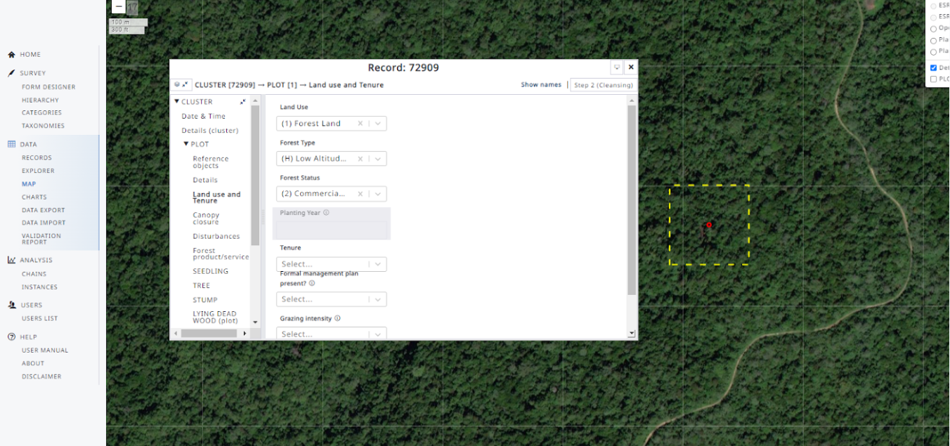
- Survey Design: A dynamic survey designer allows for intuitive creation of data entry forms, specifying data types, validation rules, and conditional logic. This integrates the functionalities of Collect.
- Taxonomy & Category Management: Users manage hierarchical taxonomies (e.g., species lists) and categories, ensuring consistent data classification.
- Spatial Reference System (SRS) Configuration: Define the coordinate systems relevant to the survey area.
- User & Role Assignment: Assign users to the survey with specific roles (e.g., data collector, data editor, analyst), controlling their access and permissions.
- Layer Integration: Add custom layers (e.g., sample plots, administrative boundaries) for visual reference.
- Publish Survey: Once the survey is designed and configured, it can be published, making it accessible to assigned data collectors on their mobile devices and enabling data entry.
- Survey Download: Field data collectors log into the Arena Mobile app and download assigned surveys, including forms. The geolocation location can be visualised in Google Maps.
- Offline Data Capture: The mobile app operates seamlessly offline, allowing data collection in remote areas without internet connectivity.
- Location Navigation & Data Entry: Collectors can use the app to navigate to the sample locations. User can input data directly into the digital forms.
- Media & GPS Integration: Capture photos, audio, video, GPS coordinates and others directly linked to specific data points, enriching the dataset.
- Real-time Validation: The app provides immediate feedback on data entry errors based on predefined validation rules, ensuring data quality at the source.
- Data Synchronisation: Collected field data can be exported to the device any time. When the mobile device reconnects to the internet, data can be directly sent to the cloud-based Arena backend. When resending an update of this data it can be synchronised on the server.
- Data Monitoring & Quality Control: Survey managers, administrators and data cleaners can monitor data collection progress and quality in real-time via the Arena web platform. In-built data validation and cleansing tools help identify and correct inconsistencies. Arena also allows merging data collected on multiple devices, supporting collaborative fieldwork.
- Collaborative Data Editing: Multiple users can work on the same survey data collaboratively, with changes synchronized through the cloud.
- Data Analysis & Reporting:
- Arena provides basic visualization and results output for reporting directly within the web console.
- For advanced statistical analysis, Arena integrates with RStudio Server or local RStudio installations, allowing users to run custom R scripts on the collected data and compute new result attributes.
- Data Export: Data can be securely exported in various formats (e.g., CSV, Excel, or direct relational database access) for further analysis in other software or integration with external systems. Multi-cycle data management allows exporting data from specific cycles or all cycles.

Frontend Technologies:
- Web Application: employs a modern JavaScript framework (SCSS is used for styling).
- Mobile Application (Arena Mobile): Developed using JavaScript, leveraging cross-platform frameworks for both Android and iOS compatibility (React Native).
Backend Technologies:
- Core Backend: JavaScript is the dominant language for the server-side, a Node.js environment. This is supported by npm and yarn usage.
- Cloud Hosting: Data is hosted by Amazon Web Services (AWS), indicating the use of AWS services for infrastructure, storage, and possibly other backend components.
- Containerization: Docker is used for deploying and running Arena components (database, RStudio Server), facilitating easy setup and portability.
- Statistical Integration: Connects with R and RStudio Server for advanced data analysis and statistical processing.
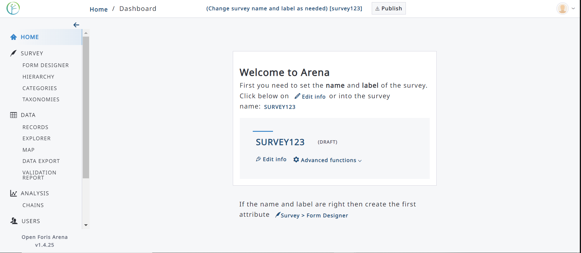
Screenshots
Resources
Support Forum
Github
- Open Foris GitHub Organization: The central hub for all Open Foris projects:
- Arena (Main Platform): Contains the primary source code for the web application and backend logic
- Arena Core: The core module containing shared functionalities
- Arena Mobile: Source code for the companion mobile data collection app